Calendar of Events
If you know of any events of interest please reach out to calendar@onemontgomerygreen.org

- This event has passed.
WEBINAR: Using Free and Low Cost Mapping Tools during Disasters
October 12, 2017 @ 1:30 pm - 2:30 pm
WEBINAR: Using Free and Low Cost Mapping Tools during Disasters
WHEN: Thursday, October 12, 2017 at 1:30pm ET
WHO CAN PARTICIPATE: This webinar is free and open to all. Please invite others in your organizations, send to your email lists, and post to your social media accounts. No registration is required.
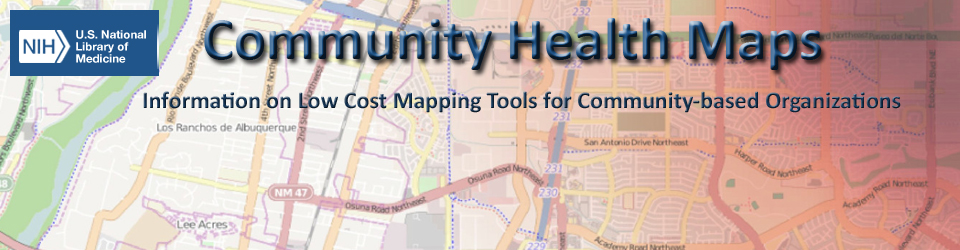
TOPIC: National Library of Medicine Community Health Maps: Using Mapping Tools during Disasters
The Center for Public Service Communications and its partner Bird’s Eye View, together with the National Library of Medicine (NLM), have developed the Community Health Maps (CHM) initiative (https://communityhealthmaps.nlm.nih.gov/). CHM’s premise is that community-based organizations, environmental health groups, public health agencies, and emergency management departments are in a better position to serve their populations when they are able to collect and maintain their own data, rather than relying solely on national or state agencies, or majority-institution partners to provide data to them. CHM has dedicated a number of resources to train students, teachers, community members, and researchers.
This webinar will provide an overview of the tools on the CHM blog, and give an idea on how attendees can begin utilizing these tools during disaster response.
Learn more about the initiative before the meeting: https://communityhealthmaps.nlm.nih.gov/2014/05
RECENT EXAMPLE:
A consortium of public health advocates, volunteers and researchers from Florida International University recently developed a “community health map” that creates a picture of the area’s health risks as they relate to king tides and the aftermath of Hurricane Irma.
http://www.miamiherald.com/news/local/community/miami-dade/article174515151.html#storylink=cpy
SPEAKERS:
John Scott is the President of Center for Public Service Communications. John provides guidance and expertise to individuals, communities and public sector organizations in the area of telecommunications and information technologies to improve the collection and sharing of scientific, technical, and community knowledge.
Kurt Menke is a Certified GIS Professional (GISP) who has been working with public health applications of GIS for the last 15 years. Kurt is an avid open source GIS proponent, recently authoring Mastering QGIS for Packt Publishing and Discover QGIS through Locate Press. He is an experienced FOSS4G educator and is a co-author of the GeoAcademy. In 2015 he was awarded the Global Educator of the Year Team Award by GeoForAll as part of the GeoAcademy team.
LOGIN:
Meeting URL (Open in Internet Explorer browser):
https://nih.webex.com/nih/onstage/g.php?MTID=ed0df94a8445d445bbbd5276edc553b51
Event Key: 1234
Audio conference information
When you log in, you will be given a choice of Audio Connections. We suggesting using the “Call Using the Computer” (VOIP) option to participate in the webinar. If you cannot use VOIP option:Select “Call Me” to receive a call back and provide your phone number OR Select “I Will Call In” and enter the number below and then the access code.
Call-in toll number (US/Canada): 1-650-479-3208 Access code: 624 327 814
If asked for your Attendee ID Number and you do not see one appear on the screen, just hit # on your phone and you will be connected.
If you are in the area you can attend the meeting in person at our offices at 6707 Democracy Blvd, Bethesda, MD, Suite 510 Park in the visitor’s parking lot (we will validate your parking), walk to the middle building (Democracy Two) and take the elevator to the 5th floor.